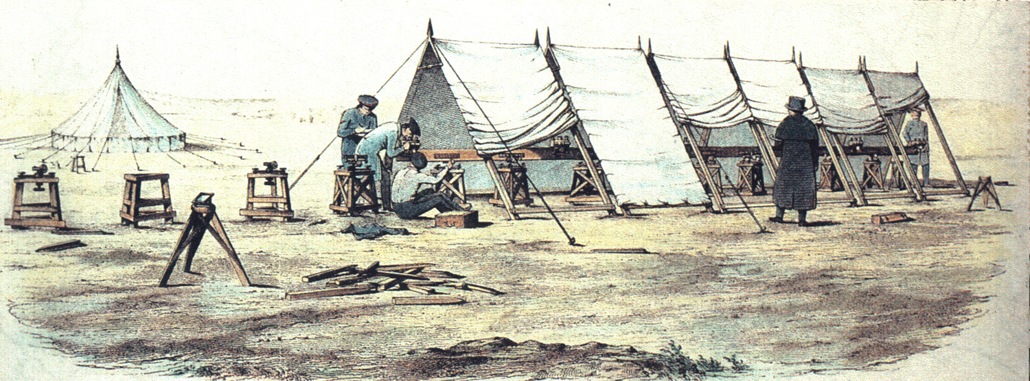
Digital humanities project set to follow the footsteps of 19th century surveyors across Ireland
Queen's University Belfast researchers have been awarded €740,000 (£630,000) to lead a cross-border digital humanities research project which will follow the footsteps of the surveyors who mapped Ireland 200 years ago.

The funding has been made available from the Irish Research Council, and Arts and Humanities Research Council, part of UK Research and Innovation (UKRI), for Queen’s to lead a three-year project called OS200 in partnership with the University of Limerick.
It will use 21st century technologies to analyse and visualise how Ordnance Survey staff operated on the ground in the 19th century and will create a free online resource revealing hidden and forgotten aspects of life and work from across Britain and Ireland.
It has been announced as part of a 6.5m euro programme which is funding 11 projects, bringing together world-leading expertise in the digital humanities across the UK and Ireland.
Researchers in the faculties of Engineering and Physical Sciences and Arts, Humanities and Social Sciences at Queen’s will work on the project, led by Professor Keith Lilley, an historical geographer in the School of Natural and Built Environment. Staff from the Centre for Data Digitisation and Analysis (CDDA), the Heritage Hub, the Institute of Irish Studies, and the Northern Ireland Place-Name Project at Queen’s will also contribute their expertise.
Other partners include the Department for Communities and Public Record Office in Northern, the Royal Irish Academy, the Digital Repository of Ireland, Logainm at Dublin City University, and the Irish Department of Tourism, Culture, Arts, Gaeltacht, Sport and Media.
Professor Lilley said: "We’re really excited about the OS200 project which focuses on the impact and legacies of the mapping of Ireland 200 years ago by the Ordnance Survey and will result in new innovative digital tools and platforms, revealing critical insights into how the British and Irish together surveyed and mapped this island.
“The funding will enable a team of researchers from across Ireland to uncover otherwise hidden and forgotten aspects of the life and work of those employed by the OS as they mapped and recorded landscapes and localities.
“There is a strong outreach and community engagement dimension to the OS200 project and a final exhibition in 2024 will be held at the Royal Irish Academy and PRONI, marking the end of the project and the bicentenary anniversary of the Ordnance Survey commencing its survey and mapping of Ireland.
“This funding and collaborative project further enhances Queen’s international reputation in digital humanities research, as well as advancing our geographical and linguistic research.”
Welcoming the joint awards, Simon Harris TD, Minister for Further & Higher Education, Research, Innovation and Science, said: “I am delighted to see these awards announced today, supported by the Irish Research Council. The ongoing partnership between the IRC and AHRC-UKRI will drive a step-change in the level of cooperation between these two islands in the growing field of digital humanities.
“The UK-Ireland digital humanities partnership is a timely reminder of both the appetite and the potential for UK-Ireland research collaboration, both ‘east-west’ and ‘north-south’.
“Maintaining and further building an international and a vibrant all-island higher education and research system is a key priority for government.”
